Tarashing village fields in the Rupal Valley below Nanga Parbat's south face

Astore Valley · 2,950 m · valley

Rupal Valley

Village fields beneath the highest mountain wall on earth

South face height
≈ 4,600 m — highest wall on earth
Villages
Tarashing & Rupal
Base camp hike
Herrligkoffer BC, full-day from Tarashing
From Astore village
≈ 2 hrs by jeep

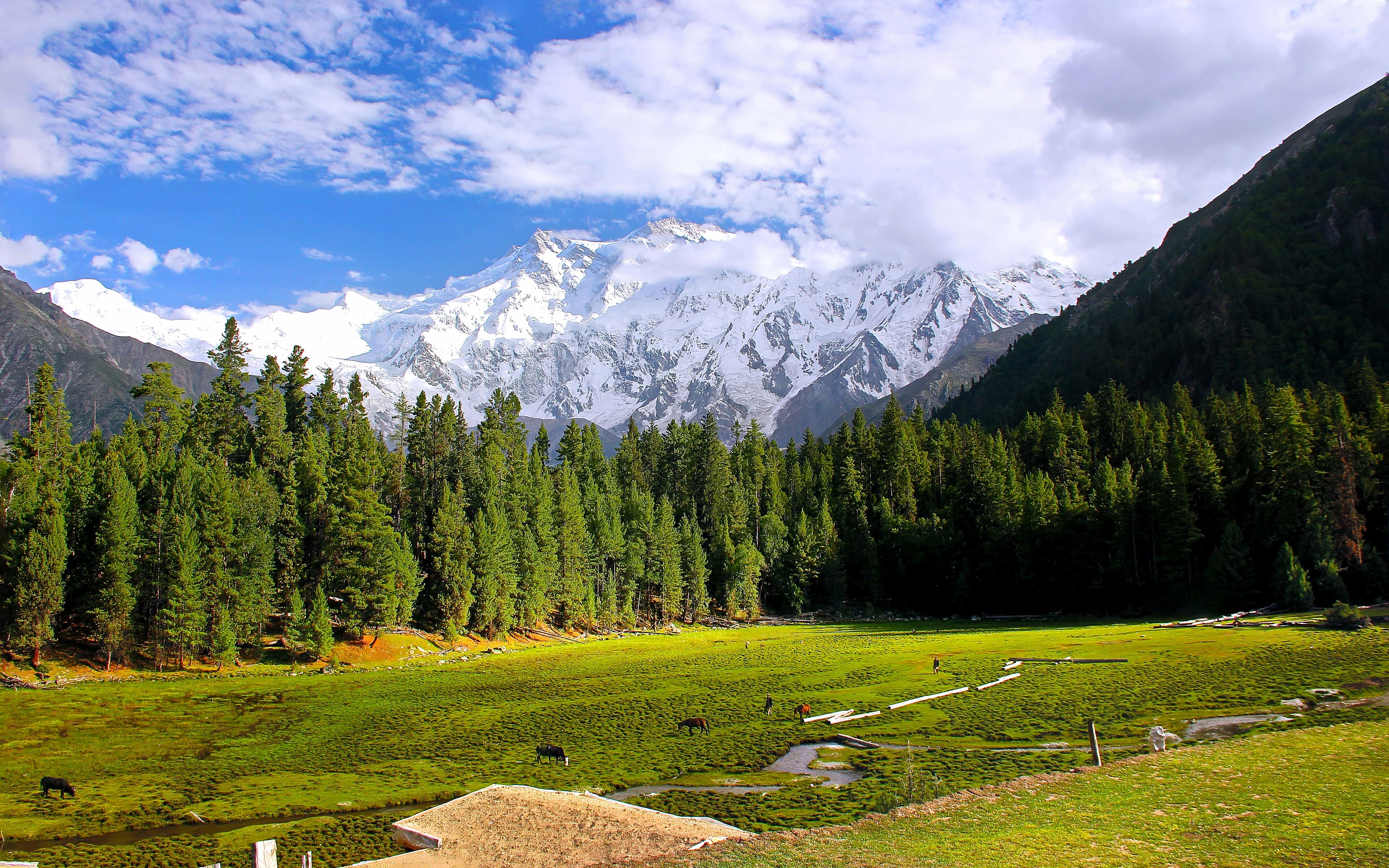
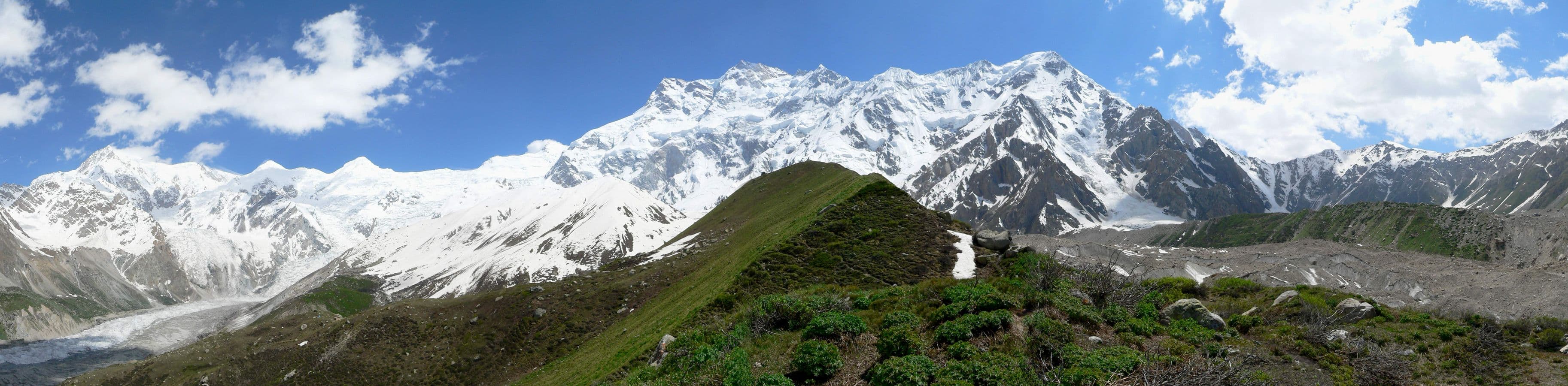
Nowhere else on the planet can you stand in a farmed village field and look up a single mountain wall 4,600 metres high. That is the Rupal Valley: the villages of Tarashing and Rupal sit directly beneath the south face of Nanga Parbat (8,126 m), the highest mountain face on earth — a rampart of ice and rock so vast that clouds form halfway up it while the summit stays in sunshine.

Mountaineering history hangs over the valley. The Rupal face defeated expeditions for decades before Reinhold and Günther Messner climbed it in 1970, and the German expeditions of the Herrligkoffer era left their name on the base camp that today makes a superb day hike. From Tarashing the walk to Herrligkoffer Base Camp crosses the Bazhin Glacier moraine and the meadows of Rupal village — a full but moderate day with the face looming larger every hour.

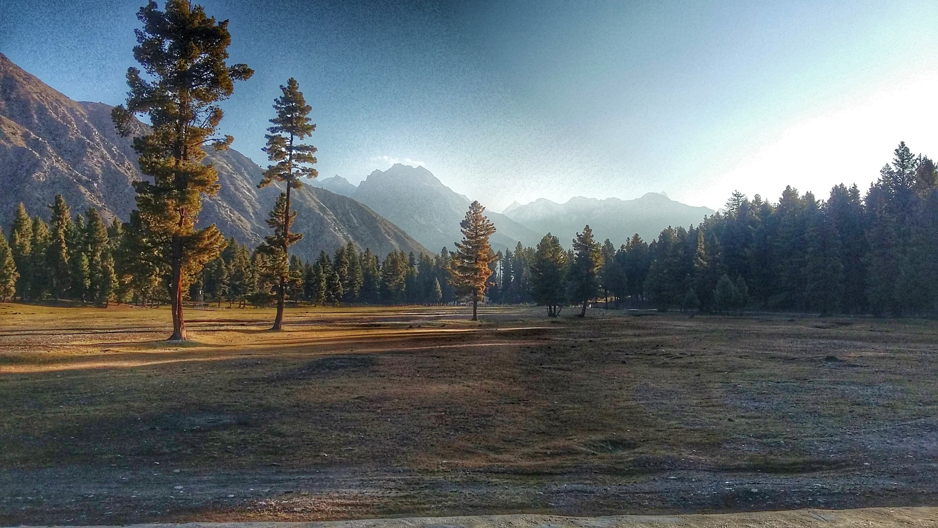
Unlike Fairy Meadows on the mountain's north side, the Rupal Valley remains genuinely quiet. Tarashing is a working village of stone houses, willow lanes and barley terraces, with a handful of simple guesthouses and campsites. Evenings here are about apricot-wood fires and watching alpenglow climb the face — there is no bazaar, no crowd, and barely a phone signal.

Rupal slots naturally into a wider Astore itinerary: it's about two hours by jeep from Astore village, and combines well with Rama Lake and the Deosai crossing to Skardu. Serious trekkers also know it as the start or end of the Mazeno Pass and Rupal–Shaigiri routes around the massif.

Nearby & related places

Rupal Valley — frequently asked questions

Can you see Nanga Parbat's south face without trekking?

Yes — the jeep road ends at Tarashing village, where the 4,600 m Rupal face fills the sky straight from the village fields. The hike to Herrligkoffer Base Camp is optional; the headline view requires no walking at all.

How long is the hike to Herrligkoffer Base Camp?

It's a full-day round trip from Tarashing, typically 6–8 hours of walking via Rupal village and the Bazhin Glacier moraine. The trail is moderate and non-technical, though the altitude (around 3,500 m at base camp) makes a steady pace sensible.

Is the Rupal Valley better than Fairy Meadows?

They show different sides of the same mountain. Fairy Meadows faces the Raikot face and has more facilities and more visitors; Rupal faces the bigger south wall and stays far quieter, with simpler village guesthouses. Mountain purists tend to prefer Rupal; many travelers do both.

Where do you stay in the Rupal Valley?

Tarashing has a handful of basic guesthouses and good campsites; Rupal village offers camping. Facilities are simple — bring a sleeping bag in shoulder season — but hosts are warm and meals are home-cooked.

Start the conversation

Want Rupal Valley on your itinerary?

Tell us your dates, interests and pace — we'll design a private itinerary with local guides, reliable 4x4s and hand-picked stays.